Site Office
A Site Office can be used to monitor the progress of equipment working on site.
On this page:
General
When a new site office equipment configuration is made, it needs to know its fixed position.
 MENU > Operation Settings > General > Site Office Settings
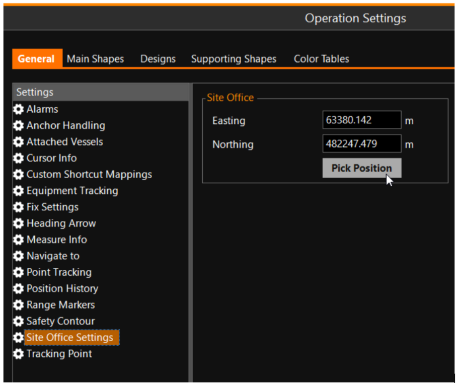
Enter the location of the Site Office manually, or use 'Pick Position' to select the location in the Top View screen using your mouse pointer.
Main Shapes
It is possible to use a grid model at a Site Office monitoring station.
For this, a ‘Main Grid Model A type of DTM that is made manageable through sampling measured points into a regularly spaced raster, allowing fast and conditional access. Considered to be a secondary data set; since no original points are kept..’ option in the Main Shapes tab of the Operation Settings is available. This main grid model can be used exactly the same way as the Progress Grid Model The Grid Model that will show the current levels in your working area. It is updated by survey updates and by your head(s) (Dredgehead, bucket, WID bar, plough, etc.) is used in other places. The difference is that this grid model will never be converted to an on-board update model and that RT will never try to write data to it.
This means the user can see tide related colors and cursor info and can apply prups to update the grid if necessary.
MENU > Operation Settings > Main Shapes
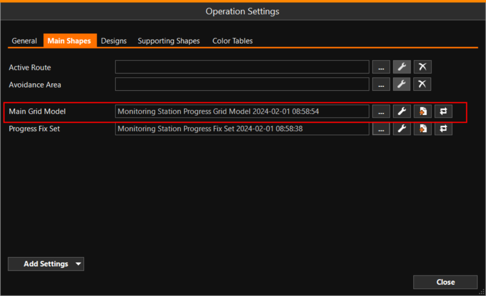
Add Settings - Can be used to add more lines to the page, where other important features can be shown and selected.