Water Level
On this page:
Water Level
To show the Water Level and to do depth calculations, this option can be activated.
 MENU > Operation Settings > General > Water Level
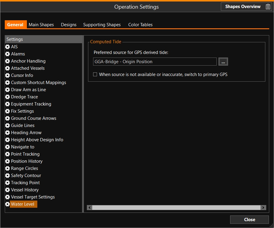
Click on the browse button [...] to select a Source which provides the tide data:
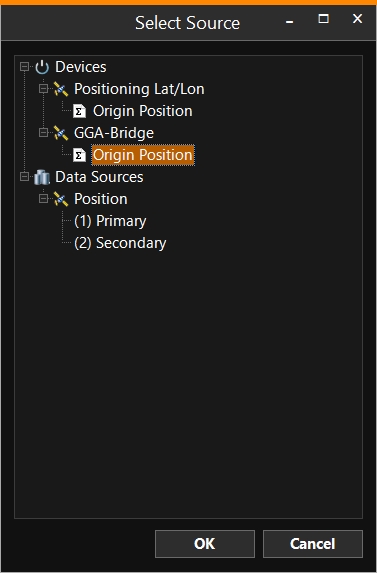
'When source is not available or inaccurate, switch to primary GPS Global Positioning System is a space-based satellite navigation system that provides location and time information in all weather, anywhere on or near the Earth, where there is an unobstructed line of sight to four or more GPS satellites. It is maintained by the United States government and is freely accessible to anyone with a GPS reciever.' - Tick to activate. This is only useful, if you have more than one positioning device available AND you are using the less accurate one at the moment. This option will make the system switch to the primary positioning system.
Water Level and Height Control are connected. If you have other sources of data, then the Water Level can be computed from there.
Height Control
At the top right of the screen, this button on the Caption Bar  leads to the Height Control settings:
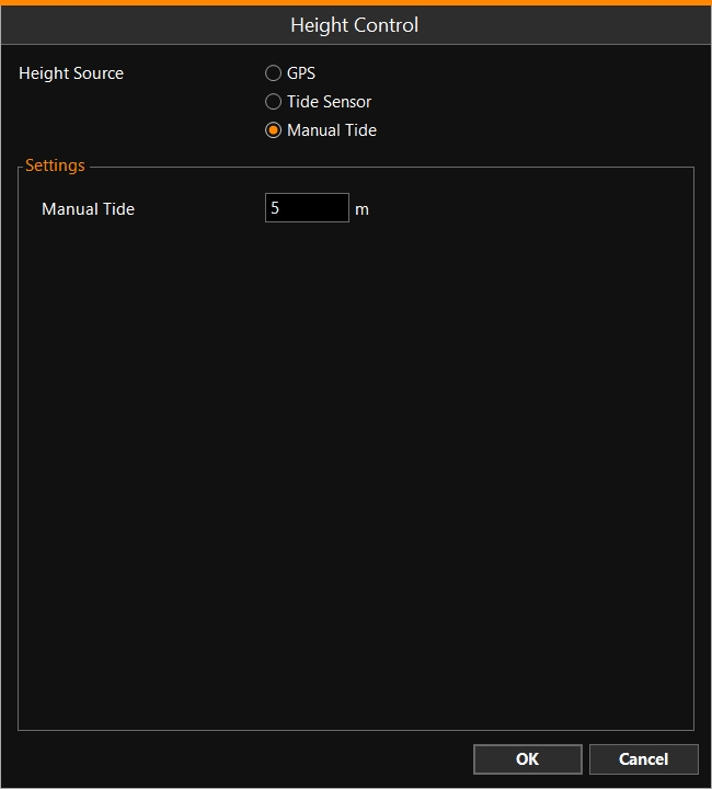
Height Source:
-
GPS - Use your GPS receiver to calculate the height of your equipment, then the Water Level will be derived from this.
-
Tide Sensor - If one or more tide sensors are set up around your project, select which one(s) to use.
-
Manual Tide - Enter a value manually.
For example: Select the GPS antenna, which is installed at the top of the boom. The calculation takes into account the length of the boom, subtracts the sinking-in levels and then arrives at the water level.