Draw Profile
VOSS RT Van Oord Survey Software Real Time - a software package that provides assistance for navigation and operation activities for (construction) vessels and land based plant. VOSS RT was built by the software developers of Van Oord's Survey Department. It displays your equipment in real time in relation to its surroundings like the topography/bathymetry, water level, design, no go areas, strucures, buoys, etc. As a minimum, the software will use a positioning system, but it is often enhanced with heading and attitude sensors. is nowadays also used during daily meeting to discuss activities and progress.
Drawing a quick profile over a dredging area can help explain the (lack of) progress.
In the Top View:
 Right mouse click in Top View > Draw Profile
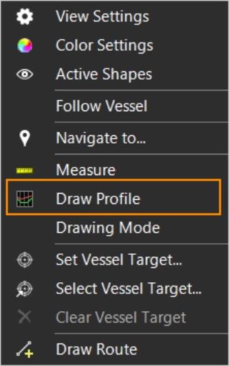
Click in the Top View with your mouse pointer to indicate where to draw a profile.
The second click will open the Profile window:
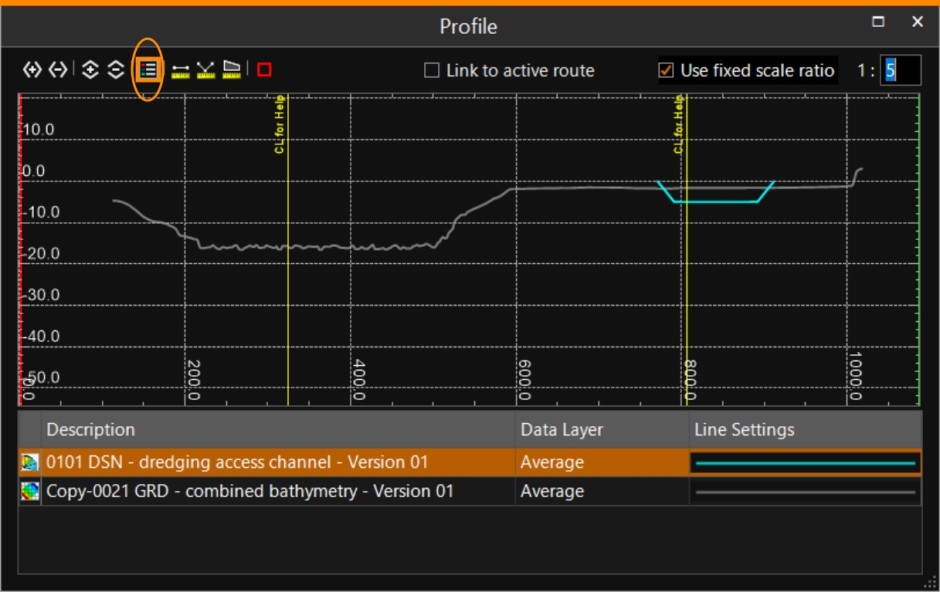
Use the 'Show Legend' button to see the names of the layers which are visible in the window.
When using the measuring tools, you can activate the 'Snap Point A point consists of an Easting, Northing and Elevation.' button (red square) to measure more accurately.
The Profile window has its own right mouse menu:
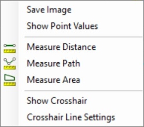
Click on any of the options to activate them.
You can also add the Draw Profile button to the toolbar of the Top View for easy access.
The colors of the surface models will be the ones that are configured in the Operation Settings.