Progress Point Cloud
A Progress Point Cloud A type of DTM that contains the original measured points. Points are kept on this level only. Any given height has a position; multiple heights are possible (e.g. a vertical wall) is a Point A point consists of an Easting, Northing and Elevation. Cloud that is continuously updated
with new measurements from the equipment.
A type of DTM that contains the original measured points. Points are kept on this level only. Any given height has a position; multiple heights are possible (e.g. a vertical wall) is a Point A point consists of an Easting, Northing and Elevation. Cloud that is continuously updated
with new measurements from the equipment.
Progress Point Clouds are Main Shapes A geometric entity or a collection of such entities. Each entity is described by basic geometry such as a point, a line or an arc. Examples of shapes are: Route, Centerline, Waypoints, Fix Set, Dump Boxes, Progress Grid Model, Designs, etc. and can be managed via:
 MENU > Operation
Settings > Main Shapes > Progress Point Cloud or:
MENU > Operation
Settings > Main Shapes > Progress Point Cloud or:
Keyboard: F1 >
Main Shapes > Progress Point Cloud
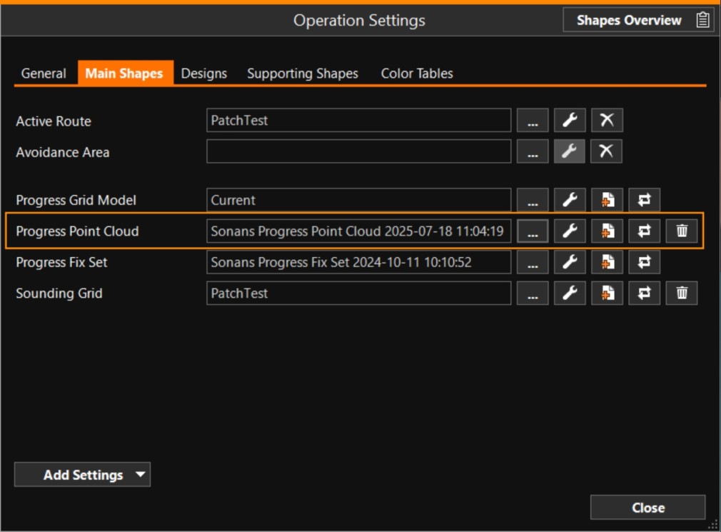

Click [...] to select your Progress Point Cloud
Click [spanner] to adapt the way the Progress Point Cloud is shown in Section views
Click [Create new progress point cloud] to create a new empty Progress Point Cloud
Click [Update history] to inspect the history of survey updates that have been applied to the point cloud
Click [...] to select your Progress Point Cloud
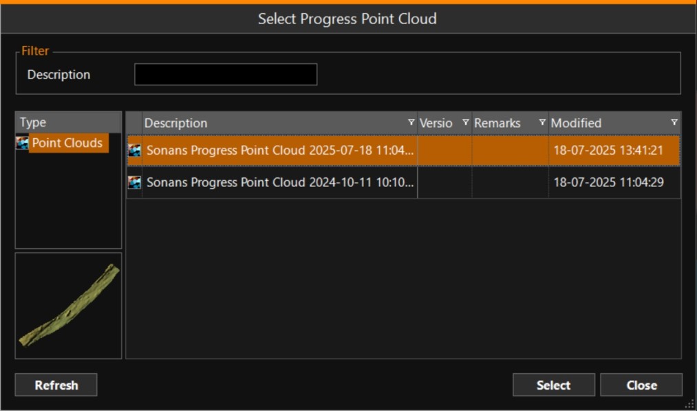
Create New Progress Point Cloud
A Progress Point Cloud is automatically created when starting up certain pieces of equipment (for example an ROV Remotely Operated Vehicle).
When you want to use a new point cloud, press the option 'Create New Progress Point Cloud'.
A confirmation box will appear first to alert you to the fact that you will start logging in a different file.
Logging will now continue in the newly created file.
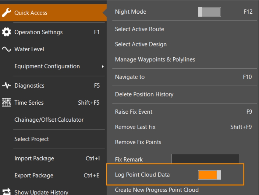
Log Point Cloud Data
Use the Log Point Cloud Data button to start logging data in the selected file:
Quick Access> Log Point Cloud Data