Cable Tracking
A rotating multibeam echosounder is used to monitor the cable’s shape A geometric entity or a collection of such entities. Each entity is described by basic geometry such as a point, a line or an arc. Examples of shapes are: Route, Centerline, Waypoints, Fix Set, Dump Boxes, Progress Grid Model, Designs, etc. and direction under water during the cable laying process.
Cable Tracking is not a setting that is selectable from Operation Settings: it is a matter of having the necessary devices installed that are involved in the computation process and that the Chute is defined.
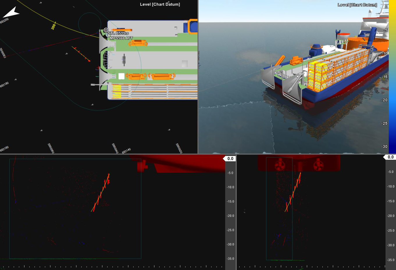
The thick red dots are data points that the cable detection algorithm classified as potential cable detections. They tend to take the form of a long near-vertical line per swath. The yellow curve is the shape of the cable that is extracted from those detection points.
Some other point classifications are also visible in the image above: green for assumed seabed and dark red for rejected points.
It is still mostly tailored to the Calypso specifically and liable to change in the future.